0 Airport Rd., Pleasanton, TX 78202

Contact Premier Realty Group
Schedule A Showing
Request more information


- MLS#: 1702572 ( Commercial Land/Unimprvd )
- Street Address: 0 Airport Rd.
- Viewed: 184
- Price: $2,257,492
- Price sqft: $0
- Waterfront: No
- Year Built: Not Available
- Bldg sqft: 0
- Days On Market: 894
- Acreage: 6.91 acres
- Additional Information
- Geolocation: 40.1108 / -79.5536
- County: BEXAR
- City: Pleasanton
- Zipcode: 78202
- Provided by: MHOMENT Realty LLC
- Contact: Ana Pittman Cude
- (830) 968-3069

- DMCA Notice
-
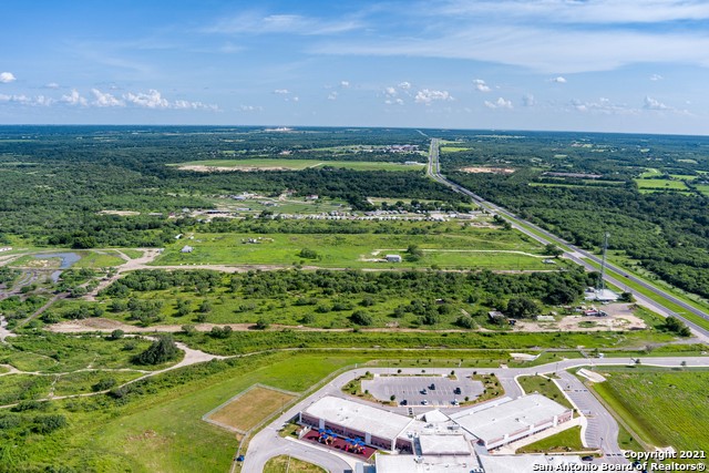
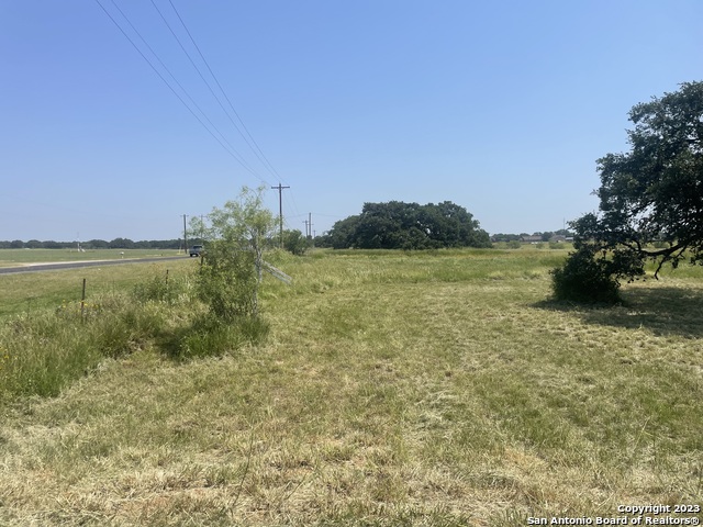
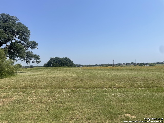
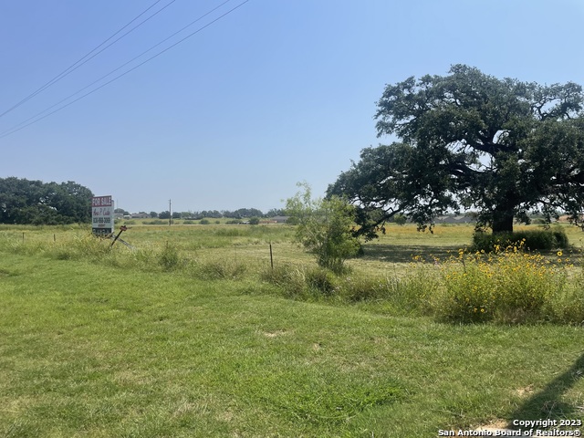
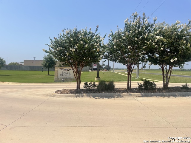
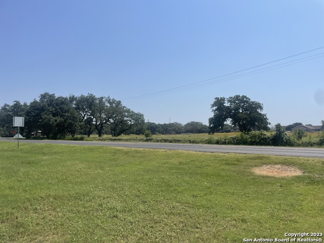
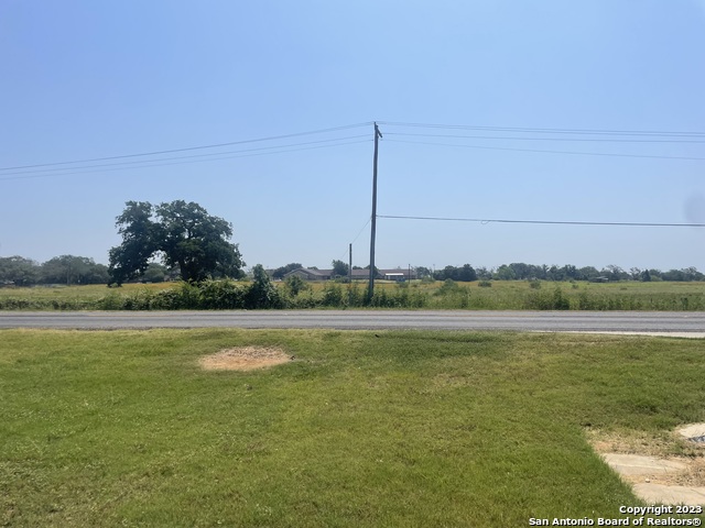
DescriptionThis parcel offers great, visibility in a newly expanding commercial / residential area. The property already includes an installed TXDot approved shared concrete entrance. Other properties that add a lot of value in the area includes, Eagle Heights Apartments, Granzin's grocery / meat market, Bonita Vista neighborhood, Pleasanton Airport, and the new Pleasanton Farms Subdivision. Walmart and others are within 1 mile.
Property Location and Similar Properties
Features
Possible Terms
- Cash
- Conventional
Agricultural
- No
Available W Lease
- No
Contract
- Exclusive Right To Sell
Days On Market
- 823
Dom
- 823
Easements
- Electric
- Water
- Ingress-Egress
- Sewer
Flood Plain
- None
Instdir
- From the intersection of W. Oaklawn (Hwy) and Airport Rd. travel 1.1 miles south
- property is on the left. Shared use entrance with Eagle Heights Apartments.
Land Sqft
- 301173
Legal Description
- ABS A00631 WM Moore SV-895
- 6.914 ACRES
Mineral Oil Gas Rights
- None
Miscellaneous
- Mature Trees (ext feat)
- Level
Other
- No
Owner Lrealreb
- Yes
Ph To Show
- N/A
Zoned
- Vacant
- Commercial
- Multi-Use
Property Type
- Commercial Land/Unimprvd
Rail Service
- No
Restrictions
- Height
- Not Applicable/None
Salerent
- For Sale
Source Sqft
- Appraiser
Utilities Available
- Electricity
- Water
- Telephone
- Sewer
Utilities On Site
- None
Views
- 184
Virtual Tour Url
- No
Zoning
- N/A
